10 days. 1,332 kilometres. The complete Ring Road — day by day, stop by stop.
Book the Explorer CompactIceland's Ring Road (Route 1) is 1,332 km in total length. It circles the entire island and passes near virtually every major attraction Iceland has to offer. You can drive it non-stop in two days if you absolutely have to — but that entirely misses the point.
At 10 days, you have enough time to complete the full circuit without rushing, spend two or three nights in the most rewarding regions, take a day hike, explore a glacier, watch puffins, soak in a remote hot spring and still arrive back in Reykjavik relaxed rather than exhausted. It is the minimum we recommend for a full Ring Road motorhome itinerary.
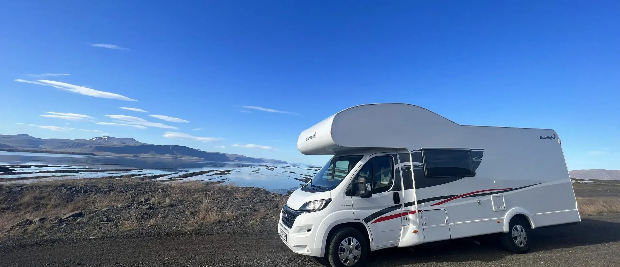
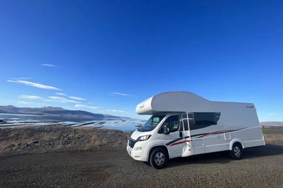
This guide is written for guests renting our Explorer Compact motorhome and picking up from our base in Garðabær, near Reykjavik. Distances are approximate and based on the most direct Ring Road routing. We have built in flexibility — treat each day as a guide, not a contract.
Pick up the motorhome in the morning (aim for 9–10 am to maximise your first day). After the walkthrough, your first destination is the Golden Circle — the classic trio of Þingvellir, Geysir and Gullfoss. Head northeast from Reykjavik on Route 36.
Þingvellir National Park is where the North American and Eurasian tectonic plates visibly diverge and where the Icelandic parliament (Alþing) was founded in 930 AD. Walk the Almannagjá canyon, peer into the Silfra fissure (snorkelling tours available) and take in the scale of the rift valley.
Continue east on Route 365 to Geysir, where Strokkur erupts to 20–30 metres every 6–8 minutes. Reliable, spectacular, impossible to tire of. Nearby Geysir visitor centre has a café and shop.
A few kilometres further east, Gullfoss thunders into a two-tiered gorge with such force that the spray is visible from the car park. Walk to the lower viewing platform for the full effect.
Return south on Route 35 via Kerið volcanic crater (worth a 30-minute stop) to camp south of Reykjavik or near Selfoss.
The South Coast is Iceland at its most cinematic. Route 1 east from Selfoss passes a string of waterfalls, glaciers and black beaches in quick succession. Allow a full day for this stretch — it is easy to underestimate how long you will want at each stop.
Seljalandsfoss is a curtain waterfall you can walk behind via a slippery but worthwhile path around the back — bring waterproofs. Five minutes further east, the hidden Gljúfrabúi waterfall is tucked inside a gorge. Easy to miss, extraordinary to find.
Skógafoss is one of Iceland's most powerful waterfalls, dropping 60 metres straight down a basalt cliff. Climb the 370 steps to the right of the falls for a view over the entire South Coast plain. The Fimmvörðuháls hiking trail begins here — even walking the first 30 minutes gives a sense of the raw landscape above.
At Sólheimajökull, a short 1.5 km walk brings you to the snout of a glacier calving into a small meltwater lagoon. Guided glacier walk tours operate here — one of the most accessible glacier experiences in Iceland.
Finish the day at Reynisfjara, the famous black sand beach south of Vík, where basalt columns rise from the surf and the Reynisdrangar sea stacks stand just offshore. Respect the sneaker waves — never turn your back on the sea here.
East of Vík, Route 1 crosses the Eldhraun lava field, formed in the catastrophic Laki eruptions of 1783–84 and now carpeted in the softest green moss. The scale is staggering — this is the largest lava flow in recorded history, and the blanket of moss that softens it today makes it look almost otherworldly.
Driving through the Skeiðarársandur, a vast glacial outwash plain, you gain a sense of the raw geological forces shaping this landscape. The road crosses several bridges built across braided glacial rivers — look north for your first close views of Vatnajökull, Europe's largest glacier, looming above the plain.
At Skaftafell (part of Vatnajökull National Park), spend the afternoon hiking. The 4 km return trail to Svartifoss — a waterfall framed by hanging basalt columns that inspired the architecture of Reykjavik's Hallgrímskirkja church — is one of the park's highlights. The Skaftafellsjökull glacier lobe is a short 1 km walk from the visitor centre.
Keep the drive short today — the Jökulsárlón glacier lagoon deserves several hours. Icebergs calve from the Breiðamerkurjökull glacier outlet and drift slowly into a deep lagoon before floating out to sea. The size and colour of the icebergs — deep blue, cloudy white, streaked with volcanic ash — is extraordinary. Take an amphibious boat tour for a close-up view.
Immediately across Route 1 from the lagoon, the Diamond Beach is where those icebergs wash ashore and are polished by the surf into translucent sculptures on black sand. Visit at dusk if possible — the low-angle light transforms the beach into something genuinely otherworldly.
The Fjallsárlón glacial lagoon, a few kilometres west of Jökulsárlón, is smaller and less visited — a peaceful alternative if the main lagoon is crowded. Kayak tours operate here in summer.
From Höfn, the small fishing town at the head of the Hornafjörður lagoon, look back west for a panorama of the entire Vatnajökull ice cap. Höfn is known throughout Iceland for its humarsúpa (langoustine soup) — a fitting end to four days on the South Coast.
The East Fjords (Austurland) are Iceland's most underrated region. The Ring Road here weaves in and out of deep, narrow fjords, climbing over mountain passes and dropping into fishing villages that feel genuinely removed from the tourist circuit. Drive slowly and stop often.
Djúpivogur is a small harbour village with a charming egg sculpture installation on the waterfront — 34 large stone eggs representing the bird species of the region. The Langabúð cultural centre and café are worth a stop.
The Petra's Stone Collection near Stöðvarfjörður is a private mineral museum built by a local woman over a lifetime of collecting. It is idiosyncratic, endearing and genuinely impressive — a reminder of the human scale of Iceland's remote communities.
Try to include a side trip up the 17 km road to Seyðisfjörður, the most visually striking town in the East Fjords. Set at the head of a narrow fjord, the town has a famous rainbow-painted street leading to the Norwegian-built timber church. A ferry to Europe departs from here in summer — the day it arrives or departs is surprisingly atmospheric.
Today's drive north along Route 1 passes through increasingly remote country before reaching the extraordinary volcanic landscape around Mývatn lake.
Stop at Dettifoss — a 45-minute detour off the Ring Road on Route 864 or 862 brings you to Europe's most powerful waterfall by volume. The scale is humbling: 193 cubic metres of water per second dropping 44 metres into the Jökulsárgljúfur canyon. The approach through moonscape lava desert adds to the drama.
At Mývatn, the volcanic activity is closer to the surface than anywhere else on Iceland's main road network. The Dimmuborgir lava formations — a labyrinth of towers, arches and collapsed lava tubes — take 1–2 hours to explore properly. The Námaskarð geothermal field a few kilometres east is one of the most dramatic in Iceland: hissing fumaroles and bubbling sulphur mud pots in an ochre-and-grey landscape that smells distinctly of eggs. The Mývatn Nature Baths — Iceland's answer to the Blue Lagoon, without the crowds — are an excellent way to end the day.
A shorter driving day — perfect for a leisurely start. Before leaving the Mývatn area, hike or drive to the Hverfjall tephra crater rim for a 360° view over the lake and surrounding lava fields. The 45-minute walk around the rim is one of the best vantage points in the north.
Goðafoss ("Waterfall of the Gods") lies on Route 1 west of Mývatn. In the year 1000, the lawspeaker Þorgeir Ljósvetningagoði threw his Norse idols into this waterfall after Iceland officially adopted Christianity — a dramatic moment preserved in the landscape. The waterfall itself, a broad curved horseshoe 12 metres high, is best seen from both banks.
Akureyri is Iceland's second city and the cultural capital of the north. The population is only around 20,000, but the town has an impressive botanical garden (the world's northernmost, open from June), a good selection of restaurants and the distinctive Akureyrarkirkja church. Stock up on groceries at Nettó or Krónan — it is the best-provisioned town until you reach the west.
Leaving Akureyri, Route 1 heads south and west through the Norðurland (North Iceland) highlands before descending toward the coast of Húnaflói bay. This is a longer driving day, but the scenery along the Dalvík and Varmahlíð valley roads is some of the most peaceful in Iceland.
Hvammstangi, a small town on the Vatnsnes peninsula, is the best base for seal watching in Iceland. The entire Vatnsnes coastline is home to a large harbour seal colony — you can view them from the road at Illugastaðir or walk to the rocks at Hvítserkur, an extraordinary 15-metre basalt stack standing in the sea that looks like a drinking dragon at low tide.
Continue south on Route 1 into Borgarnes, your gateway to the Snæfellsnes peninsula — or continue straight to the final run toward Reykjavik if your schedule is tight.
The Snæfellsnes peninsula is the best one-day detour in Iceland for Ring Road travellers. A two-hour drive from Borgarnes brings you to a peninsula that condenses Iceland's greatest hits — glacier, lava, sea cliffs, fishing villages, dramatic mountains — into a manageable loop.
Kirkjufell, near Grundarfjörður, is Iceland's most photographed mountain: a perfectly conical peak rising sharply from the shoreline. The Kirkjufellsfoss waterfall across the road completes the composition. Visit at blue hour for photographers.
Snæfellsjökull glacier, at the peninsula's western tip, is the entrance to Jules Verne's "Journey to the Centre of the Earth." The national park around it has several short trails through ancient lava fields. Djúpalónssandur beach, with its lifting stones (traditional test of a fisherman's strength) and wreckage of a British trawler on the black rocks, is deeply atmospheric.
Arnarstapi and Hellnar, on the south coast of the peninsula, are connected by a 2.5 km coastal path past sea arches and basalt columns. The small fish restaurant at Arnarstapi is good for lunch.
Your final morning. Route 1 from Borgarnes to Reykjavik follows the coast of Hvalfjörður (Whale Fjord) or takes the undersea tunnel — add a small toll but saves 45 minutes. Either way you will be back in the capital by mid-morning.
If your flight is in the evening, leave the motorhome with us in the morning, store your bags and spend the afternoon exploring Reykjavik. The Old Harbour area has excellent coffee shops and the Harpa concert hall is worth a visit. Walk up to Hallgrímskirkja church for a final panorama over the city and Mount Esja beyond. The Laugavegur shopping street has good Icelandic design stores for last-minute gifts.
Return the motorhome by the agreed time — we ask for a morning return on the final day. We will do a walkthrough, return your deposit (less any fuel top-up if needed) and make sure you reach the airport on time.
This itinerary assumes travel in summer (June–August) with long daylight hours. In May and September, adjust by reducing some driving days to allow for shorter usable daylight. The Golden Circle can also be done as an afternoon on Day 1 or as a separate final-day side trip if you prefer to head directly down the South Coast first. The order is flexible — counterclockwise (east first) is equally valid and avoids the heaviest tourist flow on the South Coast in peak season.
The Explorer Compact includes bedding, towels and a full kitchen kit, so you do not need to worry about those. What you do need to bring:
Yes, but you will need to be selective. A 7-day Ring Road itinerary means driving more each day (averaging 180–200 km) and cutting some stops. We recommend prioritising Days 1–4 (South Coast, Skaftafell, Jökulsárlón) and then either the East Fjords or Mývatn but not both in depth. Skip the Snæfellsnes detour unless you have done the South Coast before. Seven days is manageable — ten days is more satisfying.
Both work equally well. The traditional direction is clockwise (south coast first), which puts the most spectacular scenery in the first few days and gives new drivers time to adjust to the motorhome on busier roads before reaching the quieter east and north. Counterclockwise (north first) has the advantage of hitting the East Fjords before the high-season crowds build up, and finishing on the iconic South Coast. Personal preference, though we lean toward clockwise for first-timers.
June through August for the midnight sun, warmest temperatures and the widest campsite availability. Late May and September offer the same itinerary with fewer crowds, lower prices and the possibility of Northern Lights (which require darkness, so the midnight sun period rules them out). October is possible with an experienced motorhome driver and appropriate expectation of cold and variable weather. We do not recommend this itinerary in winter.
For travel in June–August, we recommend booking 3–6 months in advance. The Explorer Compact is a single vehicle — when it is booked, it is gone. May and September bookings can often be made with less lead time, but popular weeks still fill early. Checking availability on our booking page costs nothing and takes seconds.
Absolutely. The daily distances in this itinerary are designed with comfort in mind — most days involve 2–3 hours of actual driving. Iceland's roads are quiet, the scenery makes even long drives engaging, and the motorhome's automatic gearbox and comfortable driving position reduce fatigue significantly. The longest day (Day 6, 215 km) is broken up by stops that make the total driving time around 3.5 hours.
Check availability for the Explorer Compact and secure your Iceland motorhome itinerary today. We take care of the vehicle — you take care of the memories.
Check Availability & BookEverything you need to plan your Iceland motorhome trip: